 |
 |
 |
Data Collectors and Field Controllers
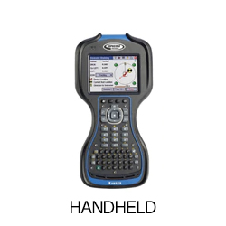
A surveying data collector is an "electronic field book” that records and calculates points in the field. It works with GPS receivers, robotic and manual total stations, and digital levels. The data collector electronically captures and logs spatial information and coordinate data in the field, which is then downloaded to your office software platform or CAD program for processing.
The model of surveying data collector you choose will be largely determined by the data collection software you currently run (or intend to run), and vice versa. Your field data collection equipment must be compatible with your data collection software, which must also be compatible with your office software (though many data collection software packages are now capable of producing a generic file format that works with most CAD or office software packages).


